On a high school missions trip to California/Mexico, I was a bit surprised that many of my new found friends were completely unfamiliar with Nebraska. They had a vague idea that it was a state in the middle of the country, but many of them had not given the Midwest much thought at all. We used this fact to our advantage, convincing many of them (at least for awhile), that a frequent Nebraska activity was going out cow tipping. Evidently they missed taking a simple geography class.
For one of our homeschool co-op classes this trimester, we are featuring this important subject of geography. I get the privilege of co-teaching eight energetic kindergarten-first graders about the world. Until this class, I am not sure that I recognized just how abstract the concept of “place” can be for younger ones.
Previously, I had used the book Me on the Map by Joan Sweeney and Annette Cable in teaching my own kids. This book does an excellent job at putting a child’s own places in order: room, house, street, town, state, country, continent, planet. Progressive steps to explain a distant reality.
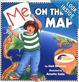
Book cover image from Amazon
As I was looking for interactive geography ideas, I was very excited to find a mom that had taken the time to plan an activity that would bring this book to life for the young ones! Finally in First originate the activity, and then Teach Mama added her own spin. Circles of varying sizes to show all of the places each child can call home. The largest one is earth, and then the smallest of the seven circles is house.
This project did take a bit to duplicate for 8 people. I cut out most of the circles in advance. Partly to fit them in the baggies, partly because I knew that even the gluing part was going to take a bit of time. This lesson needed to emphasize understanding places, not the cutting or gluing part – requiring both would have taken too long.
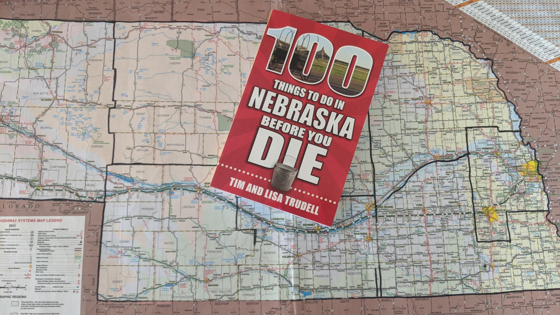
I did follow their suggested links to finish the projects. Your Child Learns has one of the best collections of online maps that I have seen. I did use their Nebraska map. I liked the fact that they included several major cities and major rivers. I printed a copy, then shrunk it down 50% to get the map to fit on the “state circle.” For multiple copies, I was able to fit four of these 50% size Nebraska maps on one page.
If you are looking to help your child or students understand the abstract concept of places that are personally relevant, the above activity is a great one. If you are wanting to simply introduce the idea of a map, the book There’s a Map on my Lap is a fun one.
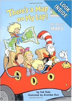
Book cover image from Amazon
This title is from the “Cat in the Hat” learning series. In true Seuss fashion, Author Tish Rabe uses nonsensical places to begin to explain the concepts of maps. The book is FULL of information. My students did not appreciate the fact that I would stop after each page for a brief further explanation of the skills presented. (They just wanted to enjoy the book! 🙂 ) Always a good deal to learn more about maps. After all, everyone should know where Nebraska is located!


Leave A Comment